Sunday, December 29, 2013

Rock Spring to Rifle Camp

* * *


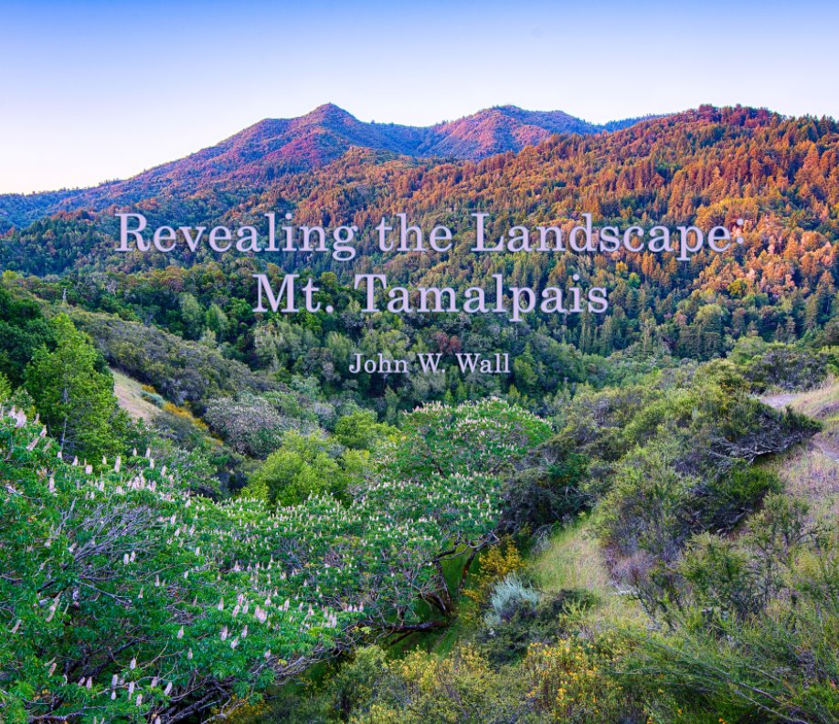
It was the last hike of the calendar year -- a year so miserly with rain that it will go down in history as the driest year in the last 160 years. Today was also the seventh "Spare the Air Day" in a row (the 31st of the year, also a record; would you believe that from 1992-2005 there were just five Spare the Air Days?!).

But if the smog was bad in the bottomlands, the air was sparkling on the mountain. It was windy enough to blow the Jeep's doors shut at Rock Spring, and gusts hitting 25mph made temps in the mid-50s seem a bit cooler than I'd have liked since I was wearing shorts. It was nice in the sun, though, as we headed for the Simmons Trail...


...which deposited us directly into the cooler, shaded forest. The wind was howling out of the north and the woods didn't always provide much of a wind-break, but it was still a very pleasant hike. The trail follows a creek, but the creek looked much the way it does in the summer, with just a few static pools here and there. 


On the other side of the woods, the Simmons Trail continues up and over a ridge of Sargent Cypress which are festooned with balls of Mistletoe. The Mistletoe was in fruit, full of small white berries.


We dropped down the other side of the ridge, past a couple of spindly Black Oaks, to Barth's Retreat. From here, the Mickey O'Brien Trail goes off to the left toward Laurel Dell, but we went to the right, crossing the bridge toward Potrero Meadow.


The point-and-shoot doesn't capture the clarity of the view we saw from along the Laurel Dell fire road. We could see details on the flanks of Mount St. Helena, some 60 miles or so to the north.


The low winter sun barely made it to Potrero Camp.


Potrero Meadow was mostly in shade. I'm sure I've never seen the meadow this dry despite a winter diet so low in sunshine. I could probably have crossed the whole meadow without a single squishy step.


Nearing Rifle Camp just a short hike east of Potrero Meadow is a live oak so inviting that it has an unofficial trail leading to its shaded base.


The view back across Rifle Camp meadow.


From Rifle Camp we doubled back along the Rock Spring-Lagunitas fire road and picked up the Benstein Trail for a nice little meander through woods speckled with beautiful madrones, back to our starting point at Rock Spring. We came upon a very birdy area near the intersection with the Simmons Trail where we saw a Townsends Warbler and Hermit Thrush among the many Juncos and Acorn Woodpeckers. Just around the bend we encountered another hotspot jumping with more than a dozen each of Robins and Cedar Waxwings.


It was a surprisingly short loop, which was probably just as well given the colds and allergies we've been fighting over the last week, but it was an exceptionally beautiful day to be on the mountain. Also exceptionally windy, as you can tell by Pam leaning into the offshore winds in this view above Druid Rocks, with Bolinas and Pt. Reyes in the distance.

* * *

Friday, December 27, 2013

No Bobcats Today

* * *


I hadn't planned to do any more photo trips during this calendar year, although I had hoped to do some more "Hikes With Pam." Unfortunately, one or the other of us has been under the weather all week. I finally snapped out of it enough this morning to want to get out for a hike, so I thought I'd walk the hills in search of bobcats. I can't believe I still haven't even seen one during this whole blog project. I blame the weather.

We had some pretty weird weather today, with lots of rainless clouds. The sun's so low in the sky that the horizon still shows color in this shot even though it's after 9 a.m. I had to change out of my jeans and into short pants to go for my hike since it was so warm out.


I hiked down the mountain a ways, getting down below the Matt Davis Trail, and just sort of kept my eyes open for cats. I had great views far and wide, plus binoculars. I poked around and photographed this old slippery jack just to have something to do while I waited for a cat to wander into the open. I didn't see so much as a deer and after a couple of hours I hiked back up to the Jeep.


I drove up the hill and hiked a short loop near Rock Spring, again without seeing any wildlife, then continued south along Bolinas Ridge. It was after noon when I photographed this scene, yet still there was color in the sky.


Sometimes the nicest viewpoints are the easiest ones to reach.


Again, waiting for a bobcat to wander into view, I amused myself by photographing whatever I could find at hand. I've photographed these leaves before, but I can't remember what plant it is.


I even took a moment to photograph some filaree (aka storksbill).


I finally spotted a coyote way off to the south, so I tromped back to the Jeep to drive down there and try to get closer. I got to my pull-out just in time to see two coyotes disappear along the Coastal Trail. They were heading back in the direction I'd just come from, so I got back in the Jeep and chose another point to intercept them. Everything was going according to plan at this point (photo above). The coyotes were going to pass right by me and I was going to photograph them as they passed a sign for the Willow Trail. 

A trio of hikers started to approach from the north, and I hoped the coyotes would come around the bend before the hikers got too close and scared them off. The hikers finally reached the Willow Trail sign and headed uphill toward Ridgecrest Road. When the hikers had reached the road and I still had no coyotes coming around the bend, I knew something was amiss. I quietly hiked along the Coastal Trail toward the point where the coyotes should have been, but they were gone. Disappeared. A kestrel had scolded something on a ridge that I couldn't see from my old vantage point, and I wondered if the coyotes had doubled back over that ridge. I never saw them again.


But I did see something pretty weird for late December -- a sky lupine in bloom.

* * *

Redwood Creekbed Cam

* * *


Squirrel in the creek bed. 

I spotted a couple small pieces of orange rind on the ground near the log when I came to pick up the camera's memory card, and thought, "Uh-oh, someone's been down here!" No problem, I guess, since the camera had not been molested.


Coyote spots the camera trap.


I quickly found out where the orange rinds came from when I got home and downloaded the crop of pictures.... I decided to break my prohibition against showing the people who get caught in the camera trap for this group, since it's just too good to pass up, and no one's face even shows. This group of five had a picnic lunch on Christmas Day, spending about an hour and fifteen minutes tripping more than 200 frames on the camera trap. Luckily, no one appeared to notice the camera the whole time.


But the local wildlife noticed that a picnic had occurred!


These two raccoons were all over the picnic area for quite a while.


And the coyote was also very interested, taking up numerous frames as he poked around the area.

I figured this spot would be safe from catching people, at least until the rains get the creek flowing again, which is when I might expect salmon biologists to wander by. I can't imagine anyone picnics in this spot on a regular basis. I was amazed when I dropped by to pick up the memory card this afternoon, however. There were cars parked all over the place. I wondered if some kind of special event was taking place. Nope. It was all for people going to Muir Woods! People were parking more than a mile away. Numerous cars had parking citations on their windows. I haven't spent much time down in the valley in a long time. Maybe it's often like that on holidays and weekends these days.

* * *

Sunday, December 22, 2013

Winter, Redwood Creek

* * *


I made a detour on the way to Redwood Creek to photograph the sunrise from the tourist turn-out, just downhill from where the guy who sells nuts out of the back of his pick-up truck can be found on many weekends. There are usually numerous cars pulled out in the vicinity because the view is so nice, and it's where you first get a high viewpoint after driving up from Tam Junction. Anyway, I shot numerous frames at various f-stops, both vertically and horizontally, and the lens flare problem seems to be adequately resolved. Looks like I just needed to clean a bit of schmutz off my lens. Let that be a lesson to me: it's not always about sensor dust.


I've been wanting to photograph Redwood Creek from Muir Beach to Muir Woods, sort of following along the winter-run salmon route, but there isn't enough water for a salmon run, and Muir Beach has been closed for months (and the re-opening date, currently December 28, keeps getting bumped further out). I made my first stop just downstream of Muir Woods, at this bridge where the graffiti has been carved out of the mossy abutment.


The scenery along Redwood Creek is so different from anywhere else on Mt. Tam. Down here it's almost flat. What little water remains in the creek is barely moving. In a normal rain year, the creek moves along briskly, and the salmon really do swim upstream to spawn. One year I watched salmon leaping from the creek up and into a metal culvert, out the other end, and onward to the redds at the far end of Muir Woods.


It was fun to quietly amble around in the creek bed to look for compositions in the chaotic tangle of woodland.


I almost forgot to mention, the main reason I came back up to the mountain so soon was to set the camera trap in a new location. After I got the SD card home yesterday and saw what I'd gotten, I didn't want to leave the camera in that spot for another week. I found what I hope will be a much more interesting spot.


It was chilly down there in the bottomland.


The tree species of the day: Red Alder.


I've always loved the alders along Redwood Creek, but I haven't photographed them more than a couple of times.


This morning I made up for lost time.


Alders are able to fix atmospheric nitrogen, enriching the soil.


I was impressed by all the lichens covering many of their trunks.


As the sun rose over the southern ridges, gusts of warm air blew away some of the cold.


A little bit fall color was still in evidence, thanks to creek dogwood.


I wish I'd spent more time photographing around the north-side reservoirs this fall, and also down here along the creek. There's lots more color to be had than I recalled.


I sort of bunny-hopped my way down the creek. I'd drive to a turn-out, investigate the creek, then head back to the Jeep and move downstream to the next spot.


I'm sure alders aren't for everyone, but I think they're a fine-looking tree, even without their leaves.


Here's a bay laurel with lots of old man's beard lichen hanging from its branches.


Back down to the creek, with more alder along the banks, and nothing but alder leaves floating downstream.


Would you believe it?! I saw these tiny white things down by my feet and thought they were litter, then maybe some kind of moth, then, after squinting real hard, I finally saw they were wildflowers. I'd never photographed spiderwort on Mt. Tam before. I was familiar with the genus from learning it in Florida when I was staying with my parents out near the Merritt Island National Wildlife Refuge for a few months many years ago. Anyway, this species is native to South America and is an escaped ornamental here. Its other common name is "Wandering Jew," a name with an interesting history. I liked this writer's take on it:

"Any botanist will tell you that the 'Wandering Jew' is a unique species of plant which - when given minimal sustenance - will nevertheless spread and grow. Similarly, if you cut out its roots and plant it in other soil, it will regenerate itself and start anew.

"This plant's nomenclature is, of course, a comment on the Jewish People's ability to adapt to varied environments and conditions. 'Wandering' is what Jewish history has been all about. The Patriarchs and Matriarchs were nomads. The Jewish nation itself was forged in Egypt and while wandering through the Sinai desert - the only nation ever to establish its identity while wandering outside its homeland. And for the past 2000 years we have been wandering the world."


I wanted to hike up into that fern-filled hillside, but there was no immediately apparent way to get there -- no deer trail or gently sloping section of embankment. I know I've been up in there before, many years ago, but I didn't have the will to do the scrambling this morning. I was interested in some blue ribbon markers dangling from branches up in there. There are lots of ribbon markers along the creek because it's a rare salmon stream that runs through a state park and connects two national park units. I've seen biologists wading through the stream to count salmon in other years and I figure there are various studies going on all the time. But as to what those ribbons higher up the slope are about, I have only curiosity.


I walked right by this buck deer carcass, first noticing that the area was quite trampled and apparently rooted up. As I reached around for my eyeglasses to see if the tracks in the sand belonged to feral pigs, I spotted the buck's remains. I wouldn't be surprised if it's been there no more than a week. A windfall feast like that gets devoured quickly. Not only were all the meat and flesh gone, but the legs as well. It's always a powerful and contemplative moment to discover an animal's remains, even more so when the animal is a full-grown buck.

* * *

Saturday, December 21, 2013

Solstice Sunrise

* * *


I went back to East Peak to re-shoot the sunrise that I had problems with last week and ended up with the same lens flare problems all over again. I'd blamed the graduated neutral density filters, but the flare occurred even when I didn't use them. Curious. It only happened with the 16-35mm. The photo above was made with a 50mm. 


After another lucky morning of the ranger opening the Pantoll gate a few minutes early, I drove up to the empty parking lot at the end of the road and once again hiked up to the base of the fire look-out where I was surprised to find a group of young photographers who'd hiked up from Mountain Home Inn.


I guess a couple other photographers drove up, but I never saw them. Only one of the two cars was still in the lot when I got back to the Jeep. I caught up to the second car a short ways down the mountain. It was upside-down along the side of the road. No one was hurt, and the same ranger who'd opened the gate earlier was already on the scene. That's only the second auto accident I've seen on Mt. Tam, and the other one was also a rollover. In neither accident was it immediately apparent how they could have lost it so badly.


As I continued down the hill I was passed by a fire engine heading up toward the accident, and then below Rock Spring I encountered a group of dancing turkeys.


A couple of Sheriff's patrol cars also passed by, and finally a CHP cruiser. I kept expecting a tow truck but got all the way down the hill without seeing one. The fire engine didn't stay long, and they startled the turkeys as they came back down and around a bend. The females fluttered down the hill, and the males in this photo are calling to them to come back up to the dancing grounds.


Despite the poor showing of rainfall this year, the hills are starting to green up, and I saw another coyote while I was scanning the terrain for bobcats. When I saw the turkeys doing their mating display -- another sign of the season -- I felt like things might not be great on the mountain, but life is going on.


In addition to fanning their tail feathers, the toms' displays also include brushing the ground with their wings as they strut forward, and sometimes they utter a deep thumping sound, or boom, at the end of the strut. Meanwhile, the hens move about and forage, pretending to disdain the toms, but you know they're taking note of who the cutest gobblers are.

* * *