 |
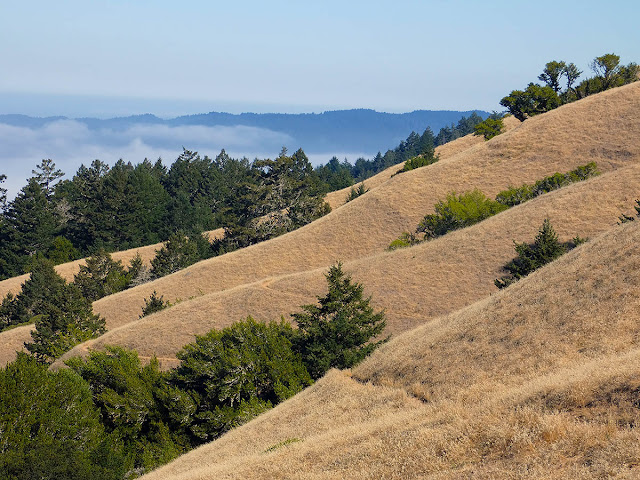
| Ravines Along Bolinas Ridge, Matt Davis Trail |
I can't help it. I can "be here now" and enjoy the warmth and cheer of sunshine and the evocative scent of rosinweed wafting in the air, but the harder summer sets in, the more I look forward to a return of the wet season. And of course there's always a bit of trepidation mixed in, since the wet season isn't a given.
As I went through my exercise routine this morning I listened to a news report on the radio about how hot it has been in Tulsa, Oklahoma, where folks were cooling off at a water park. I thought they were lucky, that they had the saving grace of water aplenty.
But I just looked it up, and it turns out they aren't much better off than we are. The whole state is in moderate to extreme drought, with zero rain in the last 40+ days being recorded at Will Rogers Airport in the center of the state. Tulsa is east of there, in the moderate drought zone, but to escape the moderate-level drought zones altogether you'd have to go much farther, say east of the Ohio River or north of the upper Mississippi.
As we found to my pleasant surprise on our hike a few days ago, there is still water flowing on Mt. Tamalpais, even up at the level of the Matt Davis Trail where it heads up the coast through the Doug fir, the oak and bay laurel, and the bigleaf maple. The spot where the creek crosses the trail is a little oasis of wet and green. It's too small an area to really want to linger over and fully savor, yet I still felt a tug of regret as we hiked past it all too quickly. Other than Cataract Creek, I don't believe we saw any other surface water on our hike, although there is a seep along the Coastal Trail below the hang-gliding launch area.
On the way up the Cataract Trail we encountered a small field of purple dots sprinkled among the brittle stalks of tawny grass: farewell-to-spring. I was sure I couldn't do justice to the scene's intricate beauty with the FZ-80 I was carrying, and maybe not even if I'd had the D800.
We had arrived at Rock Spring with only one other car in the parking lot. We hiked a leisurely loop via the Old Mine Trail to Matt Davis, then up the Coastal Trail and up and over West Ridgecrest at the Willow Camp Fire Road, then down the Laurel Dell Fire Road to the Cataract Trail to close the loop. We didn't cross paths with a single soul until we were within sight of the car at Rock Spring.
 |
| Cloud Surf, View from Old Mine Trail |
* * *


